Every AVM team eventually hits the same wall: tabular fields tell you the house has a pool, but not whether the pool's been drained for two years and the liner is cracked. Condition signal lives in what the property looks like, and the question is which imagery source gets you there without blowing up your pipeline.
What each source captures
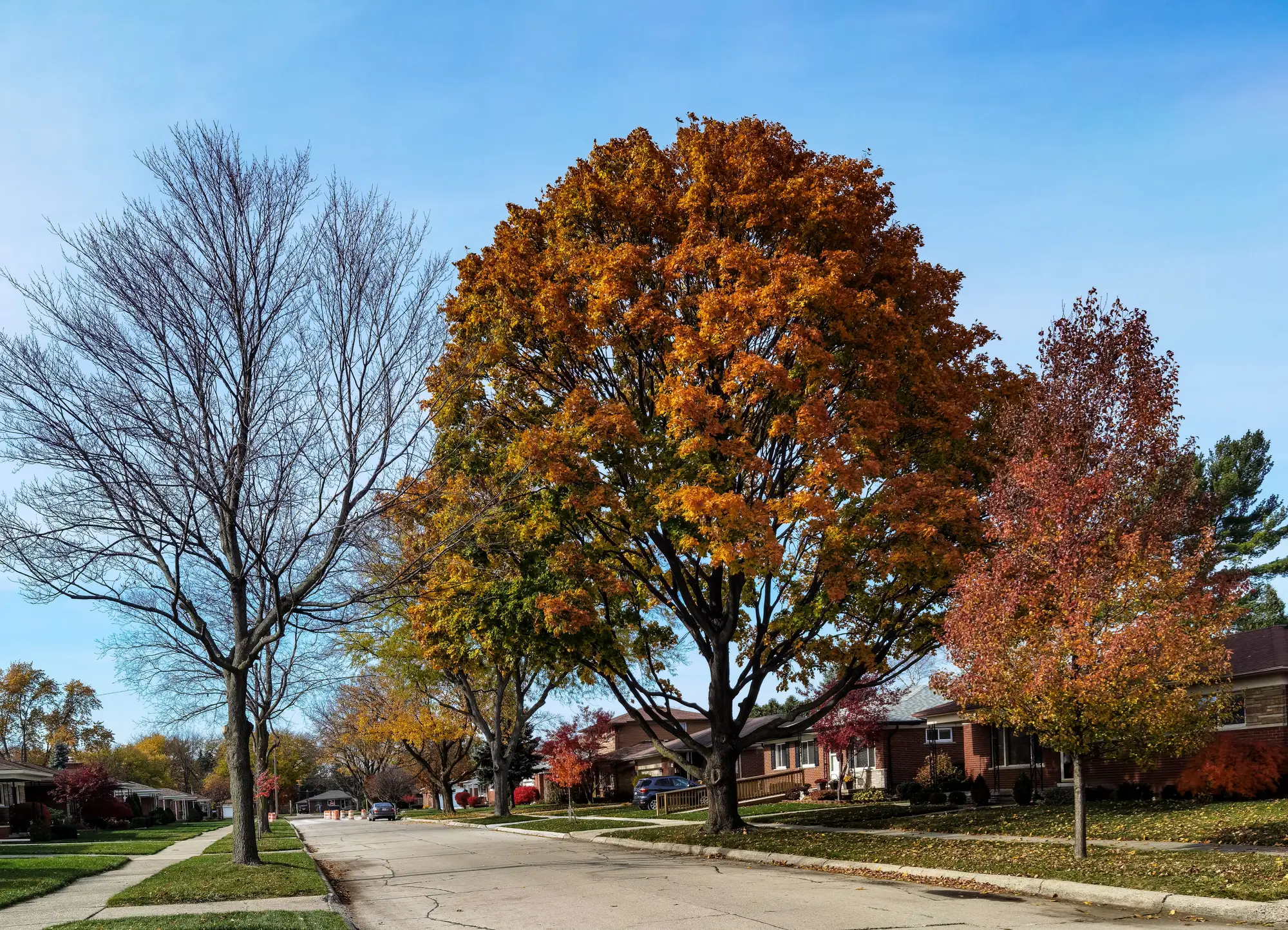
Street-level photos, whether pulled from a listing, a drive-by capture vendor, or a mapping provider's panorama feed, show the front facade. That's genuinely useful for things like roofline style, obvious disrepair on the street-facing elevation, overgrown front yards, boarded windows. It's the closest thing to what a human appraiser sees walking up to the door.
But a facade shot misses almost everything else that drives value and risk. Back yard pool condition, rear additions, a collapsing shed, solar panels on the back-facing roof slope, how close the neighbor's property line sits, whether the lot backs onto a drainage easement or a busy arterial. None of that shows up in a single street photo, and a lot of it is exactly the stuff an appraiser notes and a tabular record never does.
Overhead imagery flips the coverage. A single VHR frame gets you the full parcel: roof condition on every face, the back yard, outbuildings, pool and hardscape, lot shape, tree canopy over the structure, proximity to the next parcel and to the surrounding land use. What it can't do is read a door color or spot peeling paint on a front porch from 0.5 m resolution. Fine material-level detail at the elevation is not what overhead gets you.
Coverage, refresh and the practical tradeoff
The real difference, for a data science lead running a pipeline, is less about what each image type shows and more about whether you can get it at scale, on a schedule, for every parcel in your model's footprint.
Street-level capture is inconsistent. Coverage depends on which provider drove which street and when, and refresh cycles vary wildly by metro and by road class. Rural parcels, private drives and newer subdivisions are routinely missing or stale. You end up with a feature that's populated for maybe 60-70% of your book and silent for the rest, which is its own modeling headache: now you're imputing or dropping a feature inconsistently across regions.
Overhead VHR imagery, by contrast, comes in systematic passes. A satellite or aerial platform flying a region captures every parcel in that pass, not just the ones on a mapped street. That means the feature is populated the same way for a dense urban block and an acreage parcel outside city limits, which matters a lot once you're trying to get a condition signal to generalize across a whole portfolio rather than just the easy, well-mapped subset.
Refresh cadence matters too. A street photo from three years ago on a property that's since added a rear deck, replaced a roof, or let the yard go is worse than no signal at all if your model trusts it as current. An annual overhead refresh keeps that staleness bounded to a known window instead of an unknown one.
Where this leaves a condition-signal feature
Neither source replaces the other for everything an appraiser notices, and teams that have tried folding in raw street photos as an unstructured feature usually run into the coverage-gap problem before they run into a modeling problem. Overhead imagery won't catch a cracked front door, but it will consistently catch roof wear, lot condition, pool status and the surrounding context for every parcel in the file, on the same schedule, keyed to the same record ID you already use.
That's the gap AVM Imagery is built to close: a learned embedding of the parcel and its immediate surroundings, delivered per property and refreshed annually from VHR imagery, so condition and context stop being the one thing your tabular fields quietly leave out.
If curb-appeal and neighborhood context are missing from your feature set, it's worth seeing what a parcel-level imagery vector actually adds.