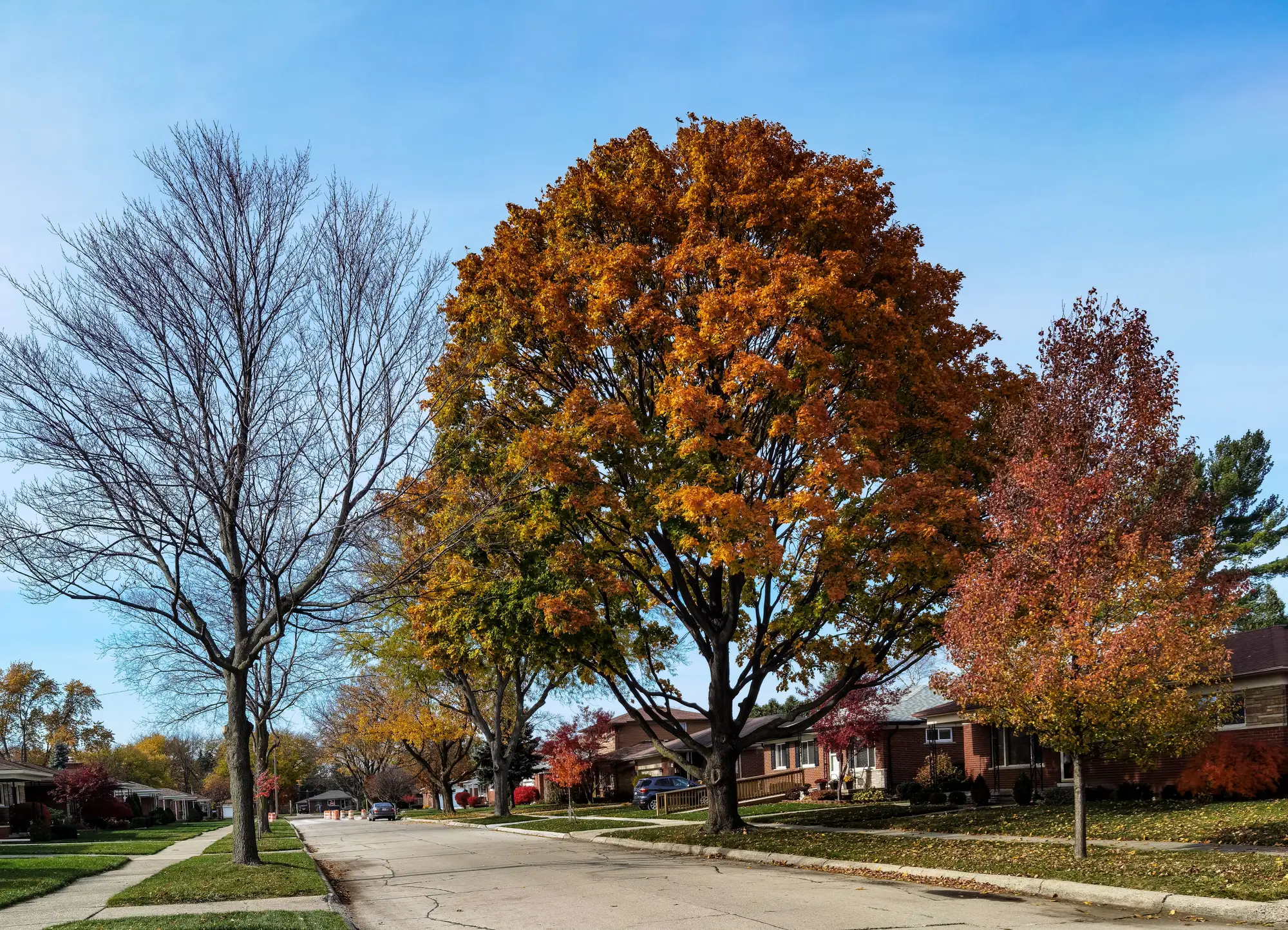
Proxy discrimination is what happens when a model input that looks neutral on its face turns out to be a stand-in for a protected class, usually because it correlates with where people of a given race, ethnicity, or national origin tend to live. Zip code is the classic example. Nobody puts "race" in an AVM, but zip code does the same work if home values in that zip code track historical segregation patterns. Add a neighborhood imagery feature to your model and you've introduced a new candidate for the same problem, and it's a less obvious one, because nobody wrote down what the embedding is keying off of.
That's the part a model risk team misses. A tabular field like school rating or crime index has a name and a source you can audit. A learned embedding of a parcel and its surroundings doesn't come with a list of what it's picking up. It could be capturing lot maintenance, tree canopy, road surface condition, lot size, or building density. It could just as easily be capturing something that splits cleanly along historical redlining boundaries, because those boundaries still show up in building age, lot layout, and public investment in a lot of US cities. The input being imagery instead of a demographic field doesn't make that assumption safe.
Why imagery inputs carry redlining risk specifically
Redlining risk in automated valuation models is now drawing active regulatory and litigation attention, and the concern applies to any feature that's geographically dense enough to encode neighborhood identity, regardless of which vendor built the model. An imagery-derived feature is geographically dense almost by definition. It's built from the parcel and what's around it, at sub-meter resolution, refreshed annually. If your service area has any neighborhoods that were historically redlined, graded, or subject to disinvestment, a feature built from what those neighborhoods look like today will reflect the downstream effects of that history whether or not the model ever sees an address.
The fix isn't to avoid visual signal entirely. Curb appeal and lot condition are real valuation inputs that appraisers use every day, and leaving them out doesn't make your model fairer, it just means you're guessing at them indirectly through other fields. The fix is to test the specific feature before it goes into production, not to assume imagery is either obviously safe or obviously suspect.
Running a disparate impact test on a new input
Disparate impact testing for an AVM feature follows a pattern most fair lending teams already run for other inputs, it just needs to be pointed at the new one specifically:
- Hold out a protected-class-coded sample using HMDA geocoded proxies or BISG, the same approach used for other fair lending testing on mortgage models.
- Score the model with and without the new feature on the same holdout, and compare the distribution of valuation outcomes across groups in addition to overall model fit.
- Check whether the feature's contribution (SHAP values or an equivalent attribution method) varies by neighborhood racial composition in a way the other inputs don't already explain.
- Look at error direction alongside error size. A feature that systematically pushes valuations down in some neighborhoods and up in others is a different finding than one that's just noisier in some areas.
- Document the result before launch, not as a retrospective exercise after an examiner asks.
A fair lending review checklist for a new model input
Before a neighborhood imagery feature, or any new geographically dense input, goes live: confirm the training and refresh process doesn't use protected class data directly or indirectly; run the disparate impact comparison above and set a threshold for what counts as a pass; have someone outside the model-building team review what the feature appears to be weighting, using attribution tools, not vendor claims about what it captures; and keep the review on file alongside your existing model documentation, since this is the same governance process your other AVM inputs already go through, not a special case for imagery.
None of that testing is something a data vendor can do for you, because it depends on your model, your service area, and your own protected-class proxies. What a vendor can do is hand over a feature you can test directly, delivered as a per-property vector keyed to your own record IDs rather than a black-box score, which is the shape AVM Imagery ships in on the curb-appeal and parcel-context feature built for exactly this kind of review.
If you're scoping that review now, it's worth seeing what the feature itself looks like before you decide how to test it.